PROJECT / NETWORK DATA & HYDRAULIC MODEL READINESS
Network Asset Data Reconstruction — Veneto
Large-scale reconstruction, validation and engineering review of water-distribution-network data across 5,442.6 km of network. The work reduced unknown or missing asset information from 32.4% to 1.55% and prepared the network dataset for subsequent hydraulic modelling and field calibration.
The engineering challenge
The starting network database contained substantial gaps in pipe installation year, material and diameter. Missing installation-year information was the dominant issue: 1,455.1 km of network, equal to 26.7% of the total. Missing material affected 151.8 km (2.8%) and missing diameter 158.7 km (2.9%). In total, the original dataset contained 1,763.3 km of unknown information, or 32.4% of the network.
Multi-stage data reconstruction
I developed a structured, multi-stage workflow to reconstruct missing information while limiting the risk of assigning unreliable values. The process progressively clustered network records using combinations of available attributes and location information, moving from more specific groups to broader fallback groups when required.
- Material + Diameter + Municipality as the most specific grouping level.
- Material + Diameter Range + Municipality where exact-diameter grouping was not sufficiently robust.
- Material + Municipality as a broader fallback grouping.
- Intermediate results were checked before values were propagated to the incomplete network records.
Connectivity and hydraulic-model readiness
Data completion was not treated as a purely tabular exercise. Network connectivity was reviewed in detail to identify topology issues and prepare the system for conversion into reliable hydraulic models. This step helped ensure that reconstructed attributes belonged to a network structure suitable for subsequent simulation, calibration and operational analysis.
Pressure campaign and CPIS review
A pressure-monitoring campaign was designed for more than 240 measurement points across the project area. CPIS information was also reviewed to better understand the behaviour of individual pipe stretches and distinguish areas characterised by calmer hydraulic conditions from stretches with more dynamic flow behaviour. These analyses supported the selection and interpretation of monitoring locations ahead of hydraulic calibration.
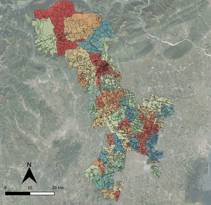
Project geography
Result
The workflow reduced total missing network information from 32.4% to 1.55%. The final unresolved dataset represented 84.3 km of the 5,442.6 km network, including 71.0 km classified as not important, 11.6 km remaining from the second reconstruction stage and 1.7 km identified as error.
The resulting dataset provided a substantially more complete and internally consistent basis for GIS management, hydraulic-model construction, field monitoring and later calibration activities.
Tools & methods
GIS and spatial analysis · network topology and connectivity checks · multi-stage data clustering · asset-data validation · pressure-monitoring design · CPIS review · hydraulic-model preparation